Today we ride … no, it rained REALLY hard yesterday, so the trails are probably not rideable. Ok, we’ll go exploring. Too many times we’ve gone out to ride and been unable to find the trailhead, so today we go in search of trailheads.
Yesterday we scoped out Bear Basin, so today we went out a bit further. But first, it’s always a good idea to go by the Ranger Office and get some maps and info. Today it was a good idea, as it has been every time before – we got a map of the area, and a rundown on the trails in the area.
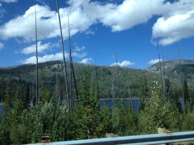
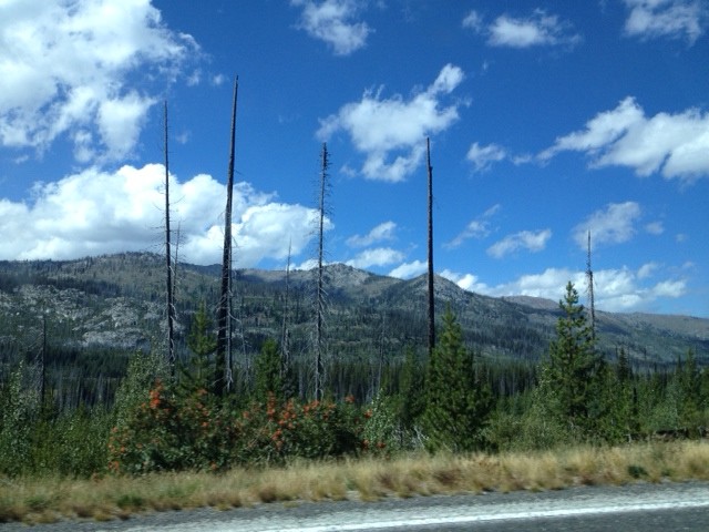
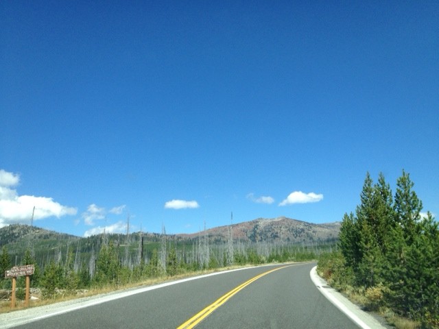
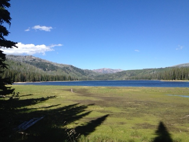
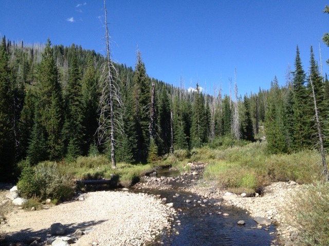
First up, 20 Mile Trailhead. Kind of coincidentally, it’s about twenty miles from town, but that’s not where it gets its name. It gets its name from the fact that it’s a twenty mile ride – ten out, ten back. Looks a bit gnarly, but not too bad. Might just have to ride it! Here are some shots of the drive up, and the area around it:
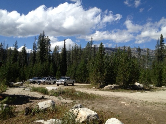
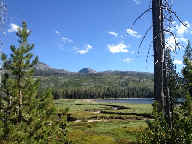
This is the lake just West of the trailhead. Here is Junior at the trailhead parking lot, with some new friends:
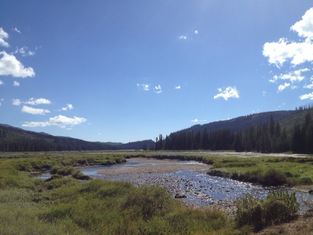
And here is a pano of the area, with the trail in the middle (ok, just right of middle):
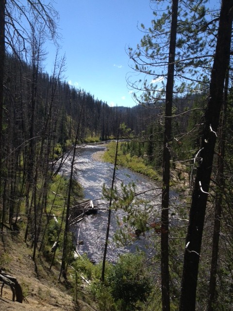
Next, we headed for Loon Lake. There’s a loop there, and the cool part is that there’s a World War II bomber wreck there. Nobody died in the wreck, so it’s ok to be excited about seeing it! Well, we’ll have to actually ride to Loon Lake and hike to the wreck, but I’m hoping to do that on Sunday. The scenery to and around the trailhead is spectacular:
That was on the way …
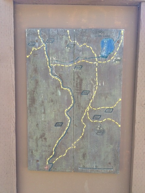
… as was that. The photos really don’t do it justice. At the trailhead, there’s a map of the trails to the lake:
Of course, the weird part is that on this map, North is at the bottom. Go figure.
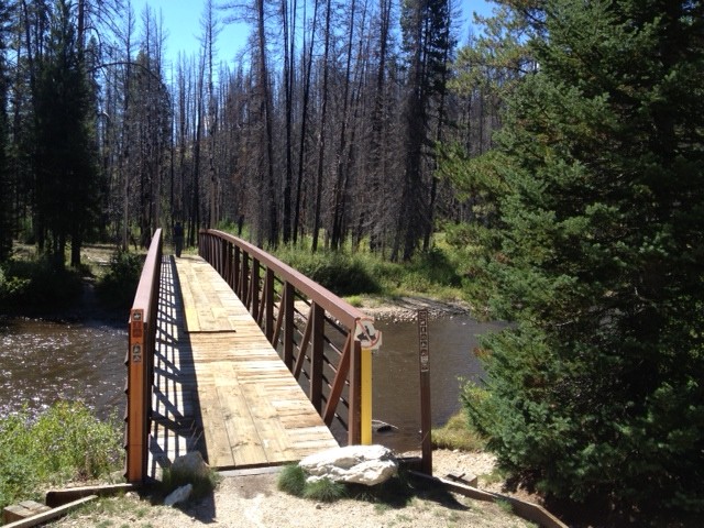
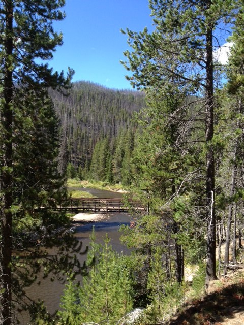
This is the bridge for the return leg (if you run the loop clockwise). Pretty cool!
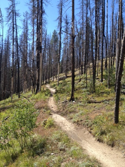
And this is that same trail climbing gently into the distance.
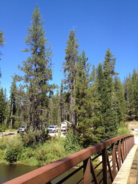
This is looking back at Junior at the trailhead.
This is the beginning of the ride if you go clockwise (evidently the way you’re SUPPOSED to do it!)
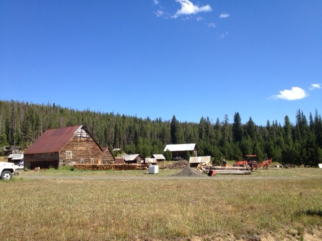
And this is a view back to the bridge from the left side. After seeing this, we took off to the next stop – Burgdorf Hot Springs. Not much to look at, but I hear it’s awesome after a long ride:
From there, we headed back home, but had seen some pretty spectacular scenery off to the West, so we peeked in on some camping areas, scouting for next year’s trip.
That’s a taste of the Upper Payette Lake view. Here’s a pano of it:
Wow! The photo really does not do it justice.
A little more of the views …
Looking South from the North end of the lake.
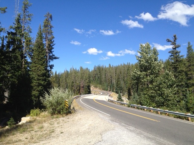
A view while heading back South, and here is when I’m getting back on the highway:
Yes, the obligatory “S” curve on the highway.
Great day of trailhead hunting, we found them all, and tomorrow, we head for Bear Basin, and maybe another trail, not sure. We’ll see!
