Monthly Archives: September 2013

Day 64 – 2013-09-10, Tuesday – Twin Falls, ID

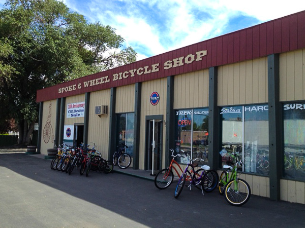
No riding today, we took a rest day, but there were some things we needed to get, for the trailer and other stuff, some of which were gels for the ride (yeah, yeah, we didn’t ride today, but you have to replenish at some point!). Stopped in at a little place called the Spoke & Wheel Bicycle Shop. They were friendly enough at first,though a little wary … maybe it was my Don Johnson hawaiian shirt (can’t fault them for that!), but anyway, after a few minutes of chatting, they loosened right up and gave us all kinds of good information! Great guys in there, if you’re in the area, pop in and visit (and don’t be a cheapskate – buy something!). Here’s a shot of the shop:

Spoke & Wheel Bike Shop-2

After the bike shop, we decided to visit Shoshone Falls. Not very impressive this time of year, they cut back most of the water to hold it for irrigation, so it’s much less than impressive. Interesting place to visit, nonetheless. Evel Knievel’s ramp (from his failed attempt at jumping the canyon) is supposedly not too far from here, but it was getting late, we were getting hungry, and it’s just not that interesting, I guess, so we just headed home for some dinner.

Then we saw the Lowe’s. I’m not a fan of Lowe’s, and I’m not really sure why – maybe when I was growing up in the jungles of Peru I was attacked by a panther in one. Nah, that’s probably not it. In any case, I tend to avoid them, but we had been told that they had something we were looking for – thermal barrier material that we plan on using on the tops of the three tents (each bed and the slide-out) to help keep out the heat. Got a huge roll of it, along with a few other things, and headed home for dinner.

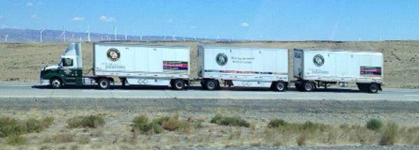
One last observation. Something I’ve noticed only in Wyoming, Montana, and especially here in Idaho:

Three Trailer-2

Yup, a tractor pulling three trailers. Never see that in Texas, or any of the lower States. Just an observation.

Day 63 – 2013-09-09, Monday – McCall, ID to Twin Falls, ID

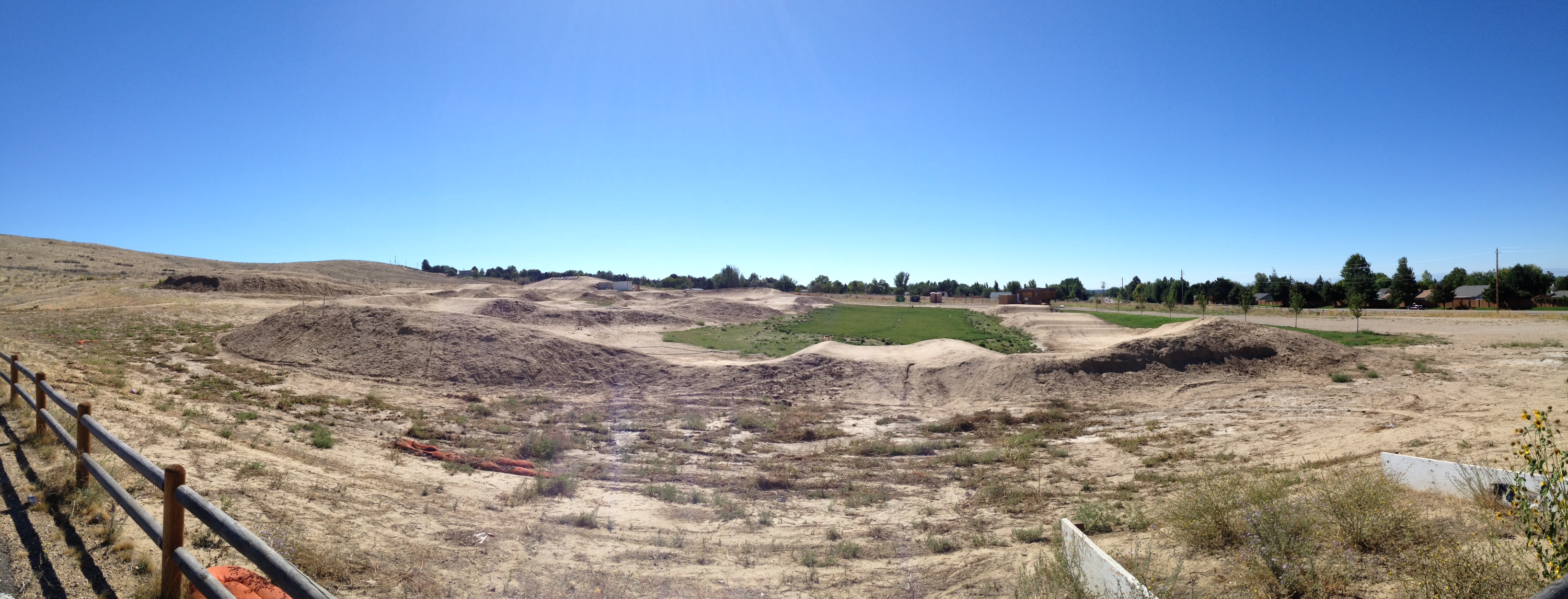
Today was a travel day. Hated to leave McCall, but had to move on. On the way, we stopped by Eagle, Idaho (outside of Boise) to check out their BMX/mountain biking park. Very cool! If I can get a good wifi connection, I’ll post some photos.

That’s one complaint I do have about Idaho – I have yet to find a decent internet connection.

Ok, we’ll give it a shot. Here’s an overview of the left side of the park as you drive in:

BMX pano 1

These are all just mountain biking trails. Here’s a shot of the right side:

BMX pano 2

Still mostly MB trails. On the far right you can kind of see the BMX area, so here’s a smaller pano of that:

BMX pano 3

Not my thing, but I can appreciate how nice this would be for those who do care for it – that is one well-made track!

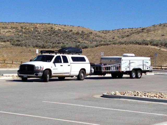
While in such a big parking lot, I took the opportunity for a couple of shots of Junior pulling The Beast:

Junior & The Beast 1

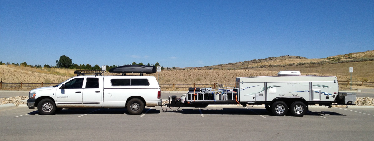
And a sideways shot:

Junior & The Beast LARGE-2

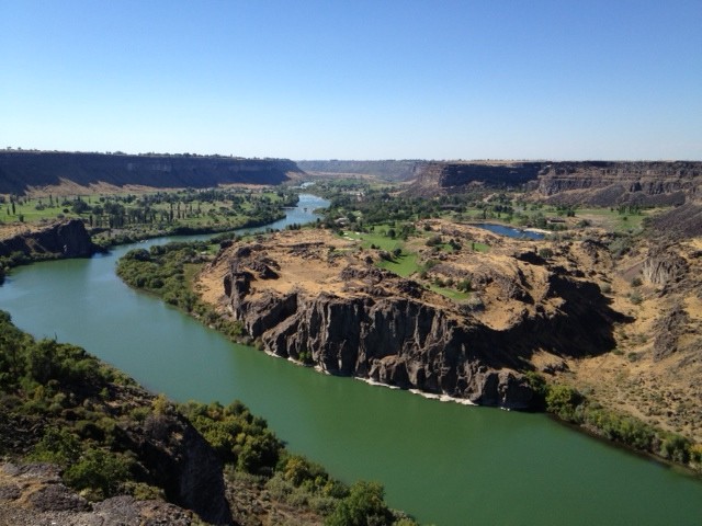
After this, we continued our trek down to Twin Falls, and got there early afternoon. Went in to town to check things out, get a few things, and discovered some really spectacular scenery! Ok, first of all, when you leave Boise and head East-SouthEast towards Twin Falls, you’d think you were driving through West Texas – fairly flat, very sandy scenery. I guess it’s very reminiscent of being outside of Amarillo, except there are really no trees here, just scrub brush … and then … all of a sudden … it’s like discovering Palo Duro State Park, that just drops down into gorgeous. Here, you get off I-84, head South on Idaho 93 to go into town, and as you go over the Perrine Bridge into town, the Snake river has cut a huge gorge and created this:

Outside Twin Falls

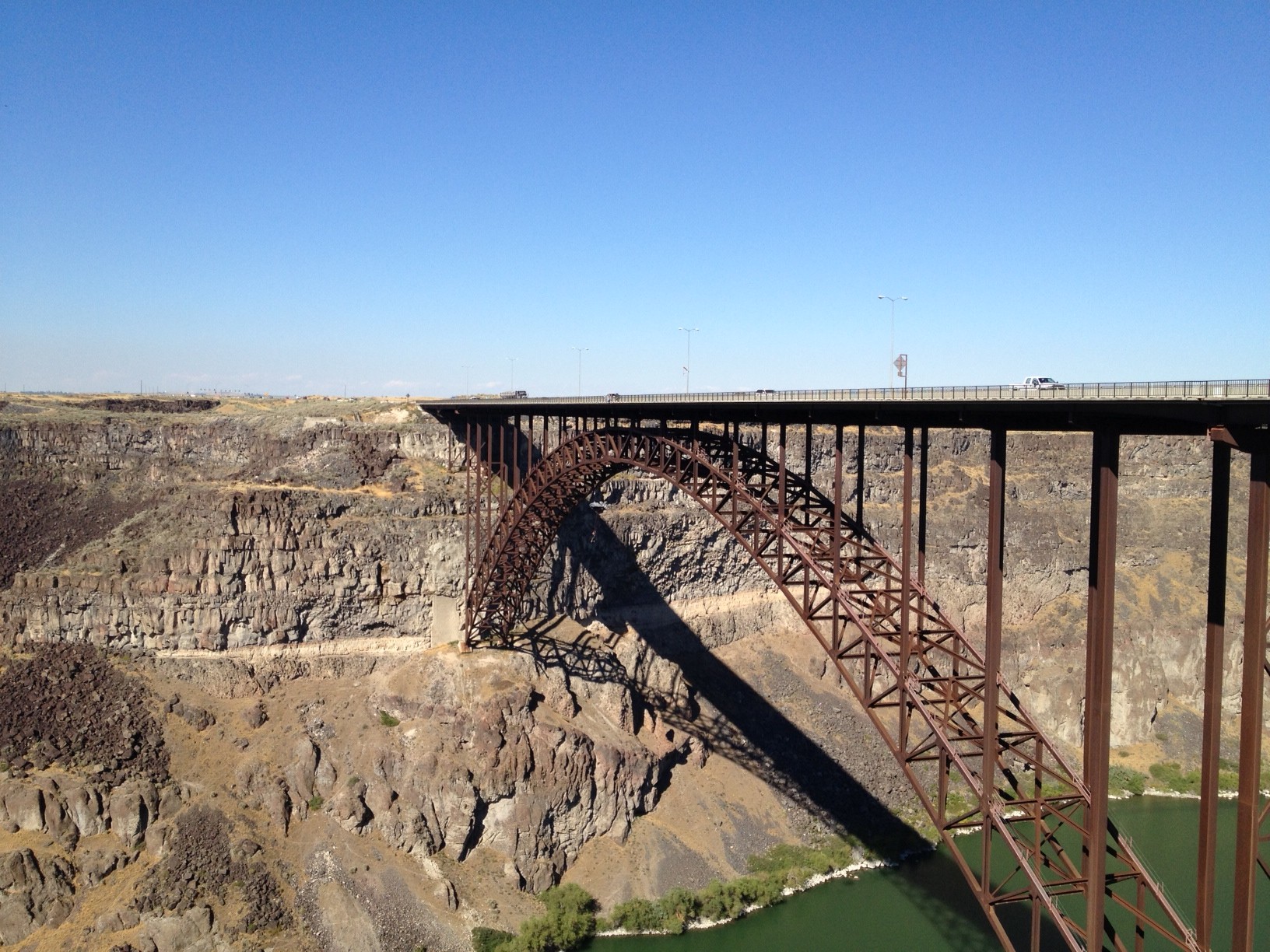
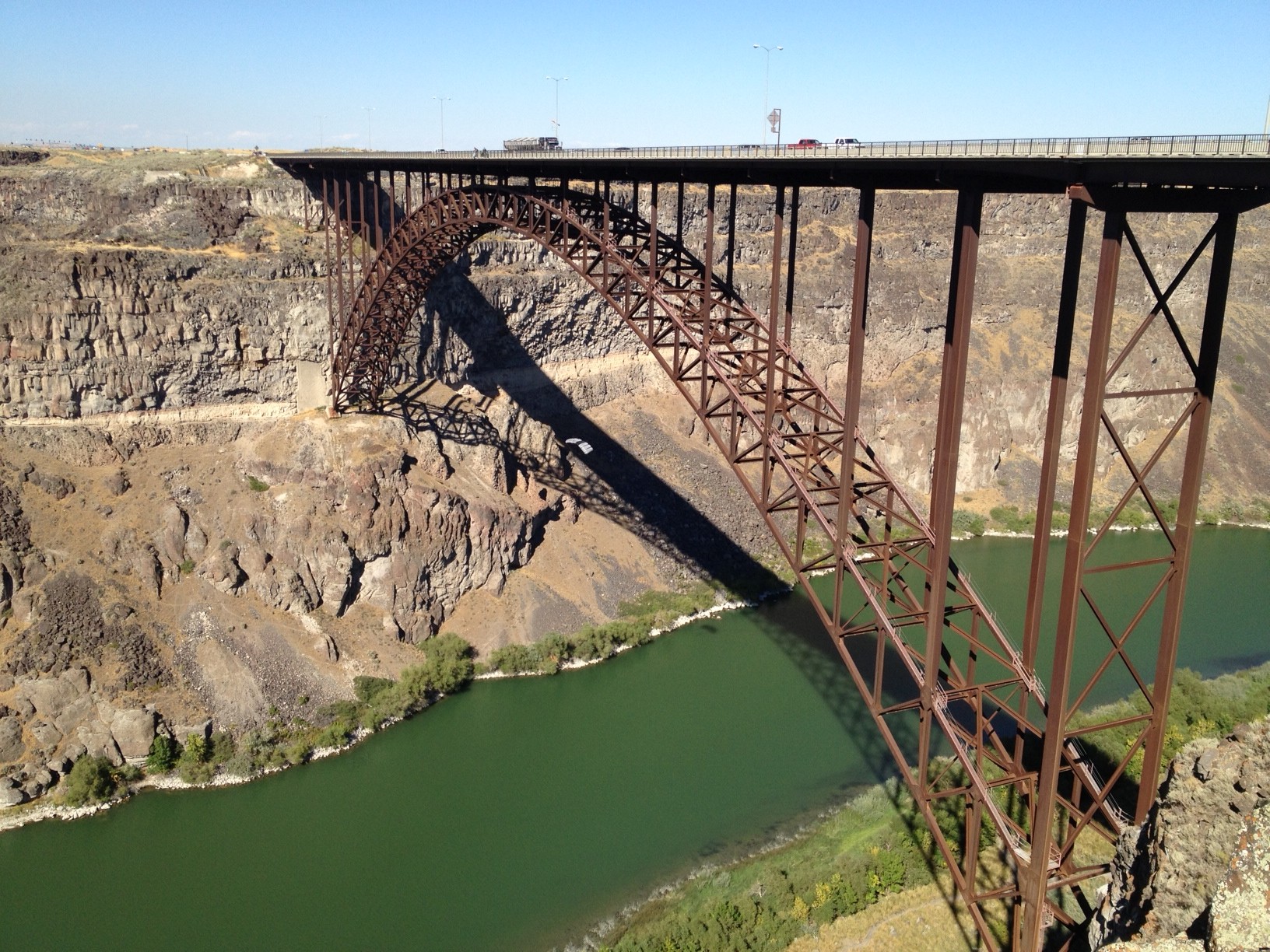
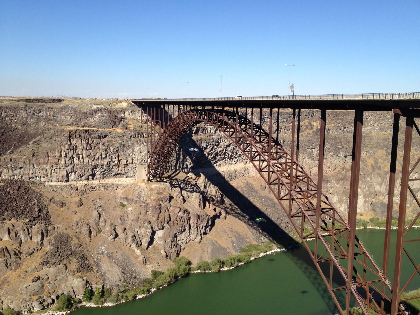
And coincidentally, this is very near the spot where, in 1974, Evel Knievel “tried” to jump the Grand Canyon. I’ll get a shot of that area tomorrow, maybe. This is Perrine Bridge, famous for a couple of things. First, when built it was the tallest bridge of its kind, at 486 feet above the river below, and second, it is the only bridge – in the U.S., at least – to allow BASE jumping year-round. There were some folks jumping today, and I kind of got them with the phone. If you click the photo, it should show you a much bigger one where you can actually see them:

Base 1

You can see the first jumper just below the curve, at mid-bridge.

Base 2

Here, you can see the first jumper in the shadow of the bridge, and the second where the first one was last shot.

Base 3

And finally, you can see both jumpers in the shadow of the bridge, and their shadows on the river below. I’ll get back out here tomorrow with a real camera and hopefully someone will be jumping again. Evidently someone jumps pretty much every day. Kinda cool, but I’ll pass.

Day 62 – 2013-09-08, Sunday – McCall, ID

Today, we ride again! Not Loon Lake, as I had hoped, even though last night we found out it’s an IMBA (International Mountain Biking Association) Epic Ride, and we’ve done some that were truly outstanding, so really wanted to do it, but the two hour drive each way just knocked it out of the running – we’re leaving tomorrow, so we need to get back early to start packing.

Anyway, we decided to go to Jug Mountain Ranch, a ski/golf resort that allows mountain biking on their property – for free! Cool! We show up late morning, get a map at the clubhouse, and are on our way. No directions on the map, and not really anyone to ask, so we just head out.

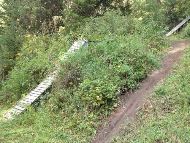
At the start, it’s an easy ride, kinda downhill, kinda uphill, and then it starts to go uphill and uphill. And steeper and steeper. Hmmm. This is NOT Bear Basin! There’s a lot of double-track interspersed throughout, but you know our aversion to that – we stay on the single-track. At one point, we see an obvious downhill – here’s a photo to explain:

Ramps

Yeah, you’re not gonna ride UP that ramp! Or the trail beside it, either! We continue up the trail, but it gets harder and harder. Something doesn’t seem right. We meet someone going the other way, and an idea begins to form in our brains … remember Arkansas? When we were first at Devil’s Den State Park? And we rode up the Butterfield Trail … only to be told “NO! You don’t ride UP the Butterfield! You ride DOWN the Butterfield”. And that’s the deal here, we finally figured out – you ride UP the roads, then enjoy the single-track on the way down. We rode down what we just rode up, and yes, it WAS a lot more fun! A LOT more fun!

Well, we were tired from yesterday, so we only spent about two hours here, put in only about six miles, but it was a fun six miles, for the most part.

Tomorrow – Twin Falls, Idaho, here we come!

Day 61 – 2013-09-07, Saturday – McCall, ID

Today we ride! No … HA! Just kidding! YES! WE RODE TODAY! WooHoo!

Got up not TOO early, because it was colder than a witch’s … elbow … we’ll go with elbow. It was COLD this morning, even with an electric heater (thought about testing the furnace, but if things were to go awry, night is not the perfect time for disasters), it was still COLD. In the upper 30s, I think. Maybe very low 40s. COLD. The boys were considering doing the 747 thing again …

Anyway, got breakfast in town to save time, and headed out for Bear Basin. It’s only about five miles from downtown McCall, so it’s not a huge trek … could have ridden the bikes, but I’d rather do all my miles in the dirt. And today we DO plan on “many miles”.

We get to the trailhead (sorry, forgot to take a photo), and there are some vehicles there, all from Idaho. Good sign! Hang out a bit, getting ready, and some folks return from their ride … I decide to approach one of them and ask for some advice. He’s friendly, and a treasure trove of information. It helps to be friendly (yes, I CAN be friendly … just don’t often choose to be …). Anyway, kill enough time so it’s after noon, so it’s time to head out. This trailhead is not on our big map, and that’s all we have, so … we’ll brave it anyway – we have GPS! We take the obvious trail out, a little climb, then it starts a gentle drop … I like this! Good warmup! After about a half mile, we get to a junction of four trails and two roads … ok, one road, but it comes in here and goes on there … like I said, two roads. Six choices. What to do, what to do. There are some signs. We came from Baby Bear. Other trails (clockwise from above) are West Face, Grand Traverse, unnamed road, Sleepy Hollow, and another unnamed road (Ok, ok, same damned road, but it comes in one place and goes out the other – TWO ROADS). Anyway, there is a sign between the trail we came in on and the second road that says the trailhead is down that there same road. WAIT! I thought we came from the trailhead! IS THERE ANOTHER TRAILHEAD? Damn! Ok, I have to know, so off I go down road 2 (yes, ok, it’s only ONE road here … oh, never mind!). It says it’s only half a mile, so no harm done. And it goes to … where we parked! But it’s hidden from where we parked. Very confusing. Well, I’d always rather ride singletrack than a road, so we go back down Baby Bear, to the Grand Intersection. Well, that’s what I call it. We don’t flip a coin to decide, as The Bear proclaims we’ll take Grand Traverse. I really don’t care, I just don’t want to be the one to decide – if I don’t decide, then I can’t get yelled at if it’s a bad choice. Well, ok, I’ll get yelled at anyway (married life, kids, just face it), but at least I can tell myself it wasn’t my choice. Anyway, off we go!

Grand Traverse is pretty nice. No steep climbs or descents, just mild ones. I like this. We come to an intersection. two trails, but four ways to go (I’m trying to avoid another “two roads” argument). We see two signs, Grand Traverse (makes sense, it tells us how to continue), and the downhill one says Lower Drain. No sign on the other one, but it’s obviously a downhill, as we can see a banked turn just up the trail. We’ll just continue on GT. After a bit, another intersection, and one of them is … West Face – we’ve seen that before! We have NO idea where we are, but we know West Face will take us back where we came from, so off we go! Again, nice ups, nice downs … a great ride … and we come upon an open area! I’d just remarked how close we were to the highway (I could hear the traffic), when we come out on a HUGE parking area for another trailhead! The Bear finds a map cache and hands me one, then goes out to investigate, headed for the highway to look at the sign, when I look on the map and see that this is the West Face Trailhead. Wow! What a coincidence! That’s the name of the trail! Who’d’a thunk it? The Bear returns, and we see that, on the map, it’s actually the Westy Corridor we came from, and the Westy Trail back to where we came from. The good news is … WE HAVE A MAP!!! And looking at said map … it’s good we did not take Lower Drain … it is an Expert section. We’ll find out later exactly what that means. It’s good we did not take Lower Drain.

We take the Westy Trail, and get back to our starting point. Time to eat. Get some bars and some Gels, and chow down. As we do, a couple of guys show up a ways away. After a couple of minutes, I decide to go ask for advice about the trails. they’re friendly, and give us a few pointers, so we decide to take Sleepy Hollow. Some of the advice they gave us was to avoid Lower Drain – EXPERT section, VERY rocky, with tables that have drop-offs of over six feet! It’s good we did not take Lower Drain!

Down Sleepy Hollow, out to a road, and across the road is Blue Ridge, which we decide to take. In a bit, six guys catch us, so we let them pass – they’re young and fit, we’re old and slow, but they tell us about Upper Drain coming up, which we had decided to go try – their advice tells us it was the right choice, so we follow them and almost try to keep up. Soon we arrive at Upper Drain, and they’re right – twelve banked turns that you can SCREAM down … and scream I do … well, ok, it’s not really me, it’s my rear brake – it’s been screaming ever since I baked it in Boise on that motorcycle downhill. Gotta get it fixed, but not today. Wow! What a fun ride! At the bottom of it, we take Grand Traverse back the way we initially came, to go back to the Grand Intersection.

Ok, while out on Blue Ridge, we had seen a trail called Della’s Delight, so when we get back to the Intersection and we again see one of the six guys, we ask about it, and he says it’s a fun little downhill, then also tells us of some other trails he likes around there – Mack’s Connector and Rising Sun, so then we ask about Ditch Witch, but he’s never done it so … ok, we have to. And off we go!

Ok, we HAD to do Della’s Delight, because DORBA’s (Dallas Off Road Bicycle Association, NOT Drunk, Obnoxious, Rude, Belligerent Assholes – well, ok, some of us might be) treasurer is Della Bird. If she knew we had been within spitting distance of a place called Della’s Delight and had not ridden it … it would not have been pretty. Can’t blame her for that! The Bear liked it, but to me it was a bit disappointing after riding Upper Drain. If you come out here, ride Della’s Delight FIRST, then do Upper Drain. After that, Mack’s Connector takes you to a jeep road that goes straight up, and you catch the almost-top of Rising Sun. Ok, but you catch it in the middle, and we’re only going to do the bottom, twisty half, as our guide told us it’s the most fun. And fun it was. Not a lot, but fun. We ride back out to the bottom of Della’s Delight, and take Polar Express over to Ditch Witch, so we can get back to the Westy Corridor, which we’ll take back to the Westy Trail and back to the Grand Intersection. Whew! Before DW, one more snack. Bars and Gels. Wrong kind of Bar – I could sure use a Guinness right about now! DW is fun, as have been ALL the trails out here. Did you catch that pattern? I have not had this much fun on a bike this whole trip! The Bear thinks that next year’s DORBA Women’s Camp should be held here! Two hundred miles of trails, and two ski resorts that will take you to the top so you can just do the downhills. And these trails are (so far, with no reason to doubt they’re ALL as good) some of the best I’ve ever ridden. They don’t do monster climbs, they take you up, give you a rest, take you up, give you a rest, all the way around. Fine examples of great trail building – THANK YOU CIMBA (Central Idaho Mountain Bike Association) … no, not Simba … that was Tarzan’s elephant, and I’m not sure how he would have done building trails at 5,000 feet. But CIMBA does an EXCELLENT job. I’m joining up! The guys we met on the trail (the group of six) were from SWIMBA (SouthWest Idaho MBA), out of Boise, and they also know how to build good trails. Kudos to you all!

Ok, here are some photos:

Bear Basin Pano 1

Yes, beautiful scenery. Colorado has nothing on Idaho. AND they have some sane gun laws – I could live here!

Oh, yeah, and here’s a shot of The Bear as we make the Grand Intersection at the end of the day, when we’re almost done:
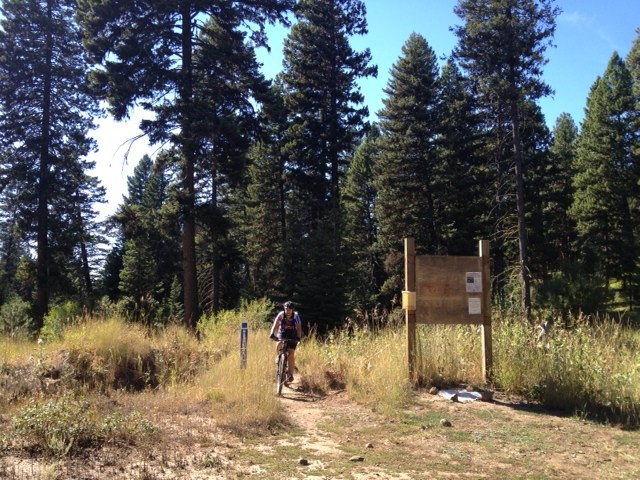
Bear entering Grand Interection end of day

Stats for the day? Not great, but good for us – 16 miles in four hours, but there was a lot of stopping to rest and to admire the scenery. It’s not a race, folks! It’s all about being out in nature and trying to stay healthy. My cardiologist is going to be pleasantly surprised when I get back to Dallas.

Oh yeah – the shower I spoke of? Here’s a photo:
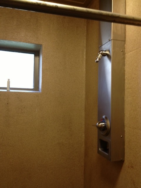
Offending shower head

See the teeny-tiny point it comes to? That’s so it can funnel every bit of water pressure and blow the top few layers of your skin right off your body!

To be fair, there is ONE thing they got right – PLENTY of hooks, so you can hang everything you need – see?
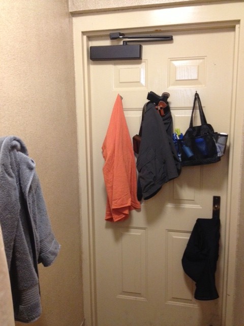
Hooks!

Towel, shirt, shorts, and shower-things. The dirty shorts can just go on the door knob. PERFECT!
Day 60 – 2013-09-06, Friday – McCall, ID

Today we ride … no, it rained REALLY hard yesterday, so the trails are probably not rideable. Ok, we’ll go exploring. Too many times we’ve gone out to ride and been unable to find the trailhead, so today we go in search of trailheads.

Yesterday we scoped out Bear Basin, so today we went out a bit further. But first, it’s always a good idea to go by the Ranger Office and get some maps and info. Today it was a good idea, as it has been every time before – we got a map of the area, and a rundown on the trails in the area.

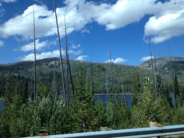
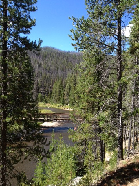
First up, 20 Mile Trailhead. Kind of coincidentally, it’s about twenty miles from town, but that’s not where it gets its name. It gets its name from the fact that it’s a twenty mile ride – ten out, ten back. Looks a bit gnarly, but not too bad. Might just have to ride it! Here are some shots of the drive up, and the area around it:

20 Mile 1

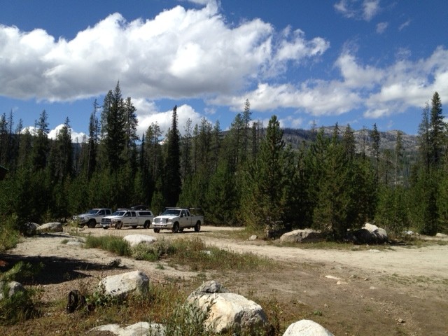
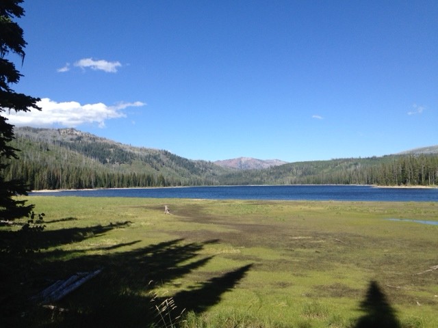
This is the lake just West of the trailhead. Here is Junior at the trailhead parking lot, with some new friends:

20 mile parking lot

And here is a pano of the area, with the trail in the middle (ok, just right of middle):

20 mile pano

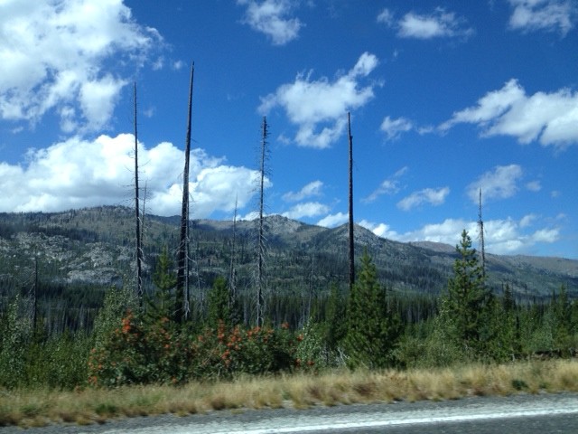
Next, we headed for Loon Lake. There’s a loop there, and the cool part is that there’s a World War II bomber wreck there. Nobody died in the wreck, so it’s ok to be excited about seeing it! Well, we’ll have to actually ride to Loon Lake and hike to the wreck, but I’m hoping to do that on Sunday. The scenery to and around the trailhead is spectacular:

Loon 1

That was on the way …

Loon 2

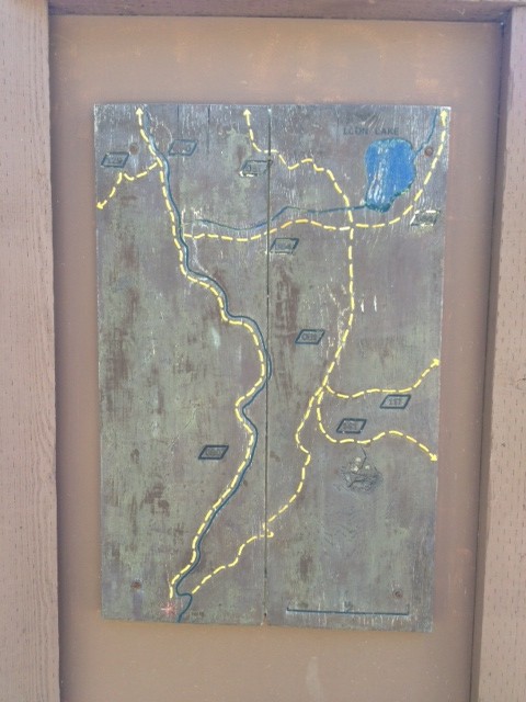
… as was that. The photos really don’t do it justice. At the trailhead, there’s a map of the trails to the lake:

Loon Map

Of course, the weird part is that on this map, North is at the bottom. Go figure.

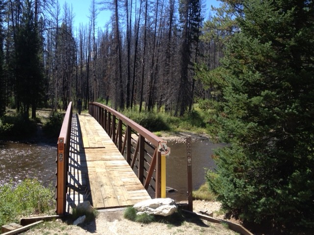
Loon Bridge

This is the bridge for the return leg (if you run the loop clockwise). Pretty cool!

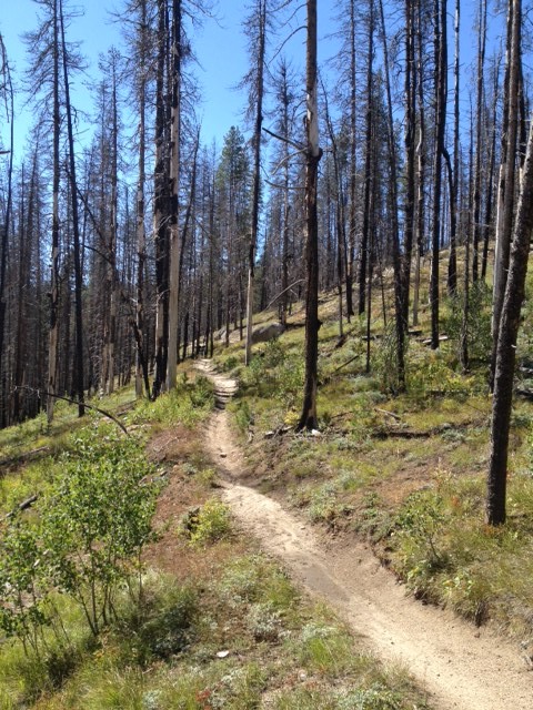
Loon 4

And this is that same trail climbing gently into the distance.

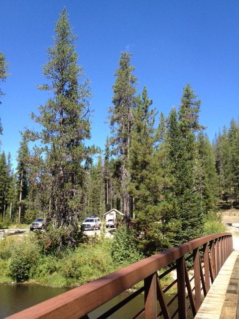
Loon 5

This is looking back at Junior at the trailhead.

Loon 6

This is the beginning of the ride if you go clockwise (evidently the way you’re SUPPOSED to do it!)

Loon 7

And this is a view back to the bridge from the left side. After seeing this, we took off to the next stop – Burgdorf Hot Springs. Not much to look at, but I hear it’s awesome after a long ride:

Burgdorf

From there, we headed back home, but had seen some pretty spectacular scenery off to the West, so we peeked in on some camping areas, scouting for next year’s trip.

UP 1

That’s a taste of the Upper Payette Lake view. Here’s a pano of it:

UP 2 Pano

Wow! The photo really does not do it justice.

UP 3

A little more of the views …

UP 4

Looking South from the North end of the lake.

UP 5

A view while heading back South, and here is when I’m getting back on the highway:

UP 6

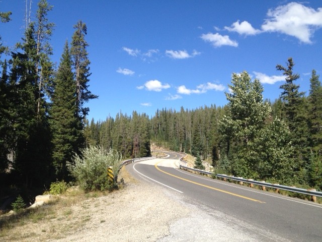
Yes, the obligatory “S” curve on the highway.

Great day of trailhead hunting, we found them all, and tomorrow, we head for Bear Basin, and maybe another trail, not sure. We’ll see!

Day 59 – 2013-09-05, Thursday – McCall, ID

Ye gads. It’s back with a vengeance! Wake up in the wee hours (to go wee, as it happens), and hear the pitter-patter of rain on the canvas. It’s raining. I go back to sleep with the hope that it will stop by morning, when we get up. Yeah. No. At eight, it’s still raining. We’re not going ANYWHERE today, unless it stops raining. We have no umbrellas. After a bit the rain slacks off and we decide to head for town, and maybe see where the riding areas are, so we know where we’re going when things dry out. Here’s a photo of McCall today, wet:

Rainy McCall

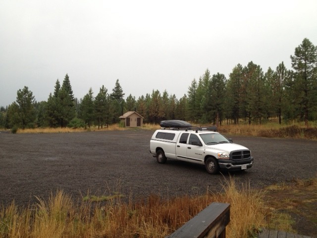
So, we went out to check out trailheads for tomorrow (the rain is supposed to end today!), and here is Junior at the Bear Basin Trailhead:

Junior at Bear Basin Trailhead

After that, it’s time to head back to camp … and now the holding tank on the toilet is full, so, one way or another, I’m getting wet. I choose by rain and head for the head. So much for the “level indicator”. After that, it’s “empty the tank” time, because I do NOT want to trudge in the rain in the middle of the night. Fun stuff!

Day 58 – 2013-09-04, Wednesday – McCall, ID

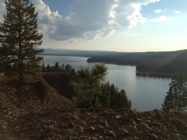
Today, we ride! Ok, not a long way, and only around the park, but we ride! I can feel the elevation again, even though it’s only 5,000 feet or so (ONLY!). I’ve lost what climatizing I’ve done, evidently, because I’m sucking air for all I’m worth. But the ride is fun. We’re able to ride out onto the peninsula, and go to the very top. Here’s a shot of where we were yesterday (I mean, we were driving along the edge of the lake, that whole shoreline you see on the right):

Lake from peninsula

The town of McCall is hidden by that big tree on the left. I’m about four or so miles North of it here, I think. Maybe only three.

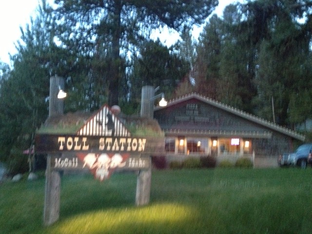
Not a lot of single-track in the park, but what there is really is fun. Somebody here knows how to build fun trails. I’m looking forward to the next ride we do. Probably tomorrow! For dinner, we decide to get a pizza, and go pick one up at the Toll Station. Pretty good pizza! Not as good as Fatty’z, but then, that was exceptional pizza! Here’s a bad shot of the Toll Station:

Toll Station Pizza

Hey! It was late and dark, I was hungry, and trying to drive back to the park. I think it’s pretty good for all that!

Oh yeah, I did get  picture of the marinas earlier today – cute little town!

McCall beach Pano

Ok, ok, that’s not the town, it’s the swimming beach and the two marinas, but trust me, it’s a cute little town. I’ll get photos later and post them.

Day 57 – 2013-09-03, Tuesday – Mountain Home, ID to McCall, ID

Alright! Today we leave the heat! Did not get a super-early start, because it’s a relatively short drive – only about 150 miles. Piece of cake! Well, once we get going. The problem is, it rained last night, and it rains when we wake up. Have you ever camped out and had to put away the tent in the rain? Yeah, except this is a GIGANTIC tent. But it’s still wet. Checkout time is eleven, so we can’t dilly-dally too much.

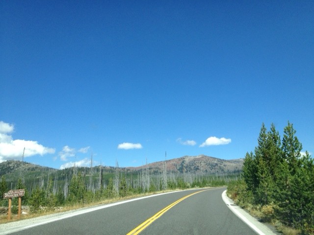
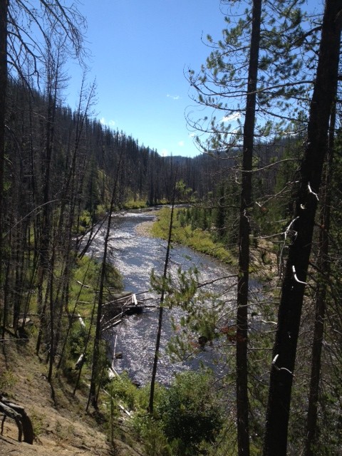
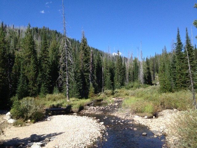
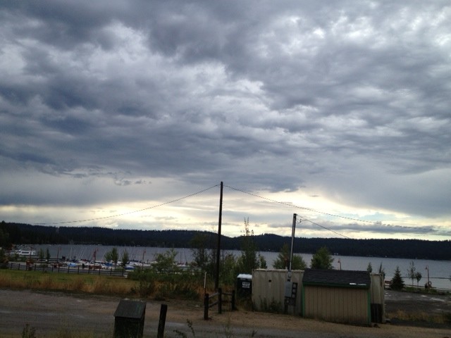
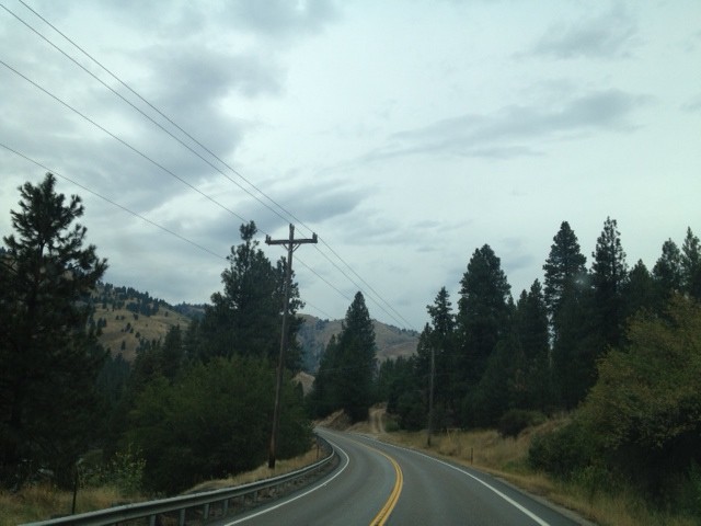
Short drive – true. Scenic drive – s l o w . Takes almost three hours, but the scenery is outstanding! Here are some shots of the drive:

MC1

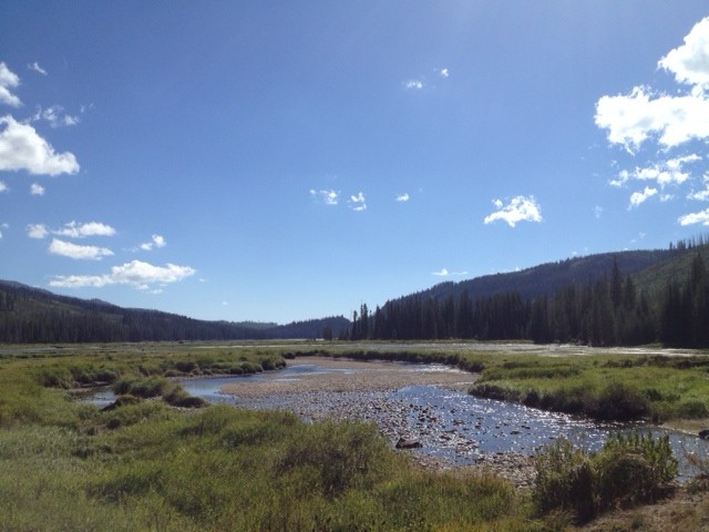
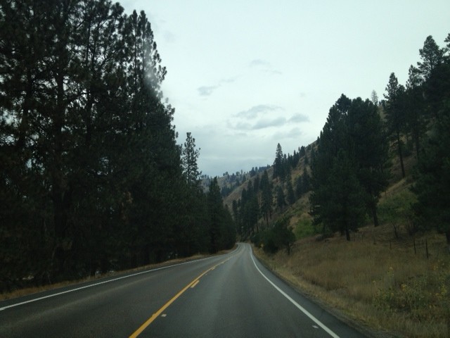
A bit further down the road, we get this:

MC2

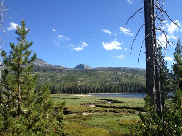
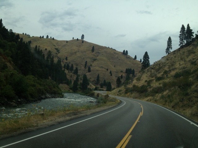
And even closer to McCall, we get this one:

MC3

And yes, it was still raining on the drive up. The curse is fully active!

Finally, we get to McCall, and head for Ponderosa State Park, where we’ll make our new home for the next few days. There is supposed to be a LOT of riding in this area, so hopefully we can make the most of it. After we check in, looking for our site, I see this:

VW Thing

It has been several decades since I’ve seen one of those! A VW Thing. Cool!

We get camp set up and head to town to check things out, then drive out a ways to see what there is. There is the lake (of course!), and a peninsula that pokes out into it, so I get a couple of shots of it. Here’s a panoramic view of the lake from the road North:

Payette Lake Pano 1

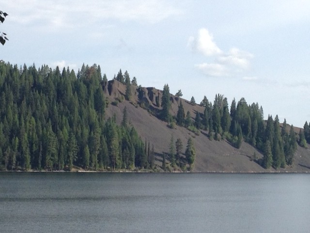
That peninsula looks kind of weird, so I get a close-up:

Peninsula

That’s basalt on that hillside. Old lava flows from at least yesterday (or maybe a few thousand years ago, I’m not really sure). I’ll try to get a closer look when I can.

We get some supplies in town, and head back to camp. Shower time! By the way, this park is BEAUTIFUL. Well, the RV section is, at least. Brand new driveways, perfectly paved, perfectly level, full hookups. Wow! Big bathrooms, clean, REALLY nice – ok, for a State Park. No soap at the sinks, though, which is a bummer. And big showers, too – individual rooms. Nice. So I go in to take a shower … ok, the showerhead is basically a pipe with a 1/8-inch hole on the end, where the water “sprays” from. It’s a pretty potent stream, feels like it’s coming out at 300 psi. Ok, I know it’s only probably 80 psi or so, but that teeny tiny stream just flat blasts the top few layers of your skin right off! AND, you need to run around in circles just to get yourself all wet. When the stream hits my neck, it almost makes the muscles cramp. It feels lie a deep-tissue massage, done by an old-time (1960s) East German masseuse who just slammed her fifth consecutive Red Bull since I walked in. In other words, it hurts! But it’s warm, and I’m clean. Boy, you’d better watch where that stream hits you, though, at least if you ever hope to have children in the future. Vasectomy? Nah, this thing will give you a nut-ectomy if you’re not careful!

Day 56 – 2013-09-02, Monday – Mountain Home, ID

Alright, last day here! This morning, we made pancakes on our new griddle – I had forgot how good homemade banana nut pancakes can be! Toaster for another day … all we need to do now is to go somewhere we can ride! That should happen tomorrow.

McCall, Idaho is where we’ll be, probably at a State Park, which means no  internet, but I’ll figure something out. Already have a plan for that …